 Our pick
Guides
Language
EnglishCurrency
US dollar · $GetYourGuide shows prices in the currency you choose.
Guide · Vis
A day trip from Hvar to Vis, done well
Vis was closed to foreign visitors until 1989, and it still feels further away than its neighbours. From Hvar the easiest way to see it in a day is by speedboat.
Check availabilityfrom $137 · cancel at no cost
Editorial team, blue-cave-hvar.comUpdated October 25, 20266-minute read32 sources
Quick answer
- 01Best way
- A speedboat day from Hvar; regular boats from Hvar town to Vis run only once a week.1
- 02On the way
- The Blue Cave, the Green Cave, Stiniva and a lagoon.
- 03Vis town to Komiža
- 13 km, a 15-minute bus ride.2
- 04Highest point
- Hum, 587 metres above the sea.3
- 05History
- Off-limits to foreigners until 1989.4
Why a speedboat is the way to do it
On a map Vis looks close to Hvar, and it is, but public connections are built around Split. The Hvar Tourist Board says boats run from Hvar town to Vis once a week, while catamarans to Split and Korčula run far more often.1 Jadrolinija's catamaran line 9602 links Split, Milna on Brač, Hvar town and Vis.5 For a day out and back, a public boat rarely lines up, so most visitors who want to get from Hvar to Vis for a day go with a tour.
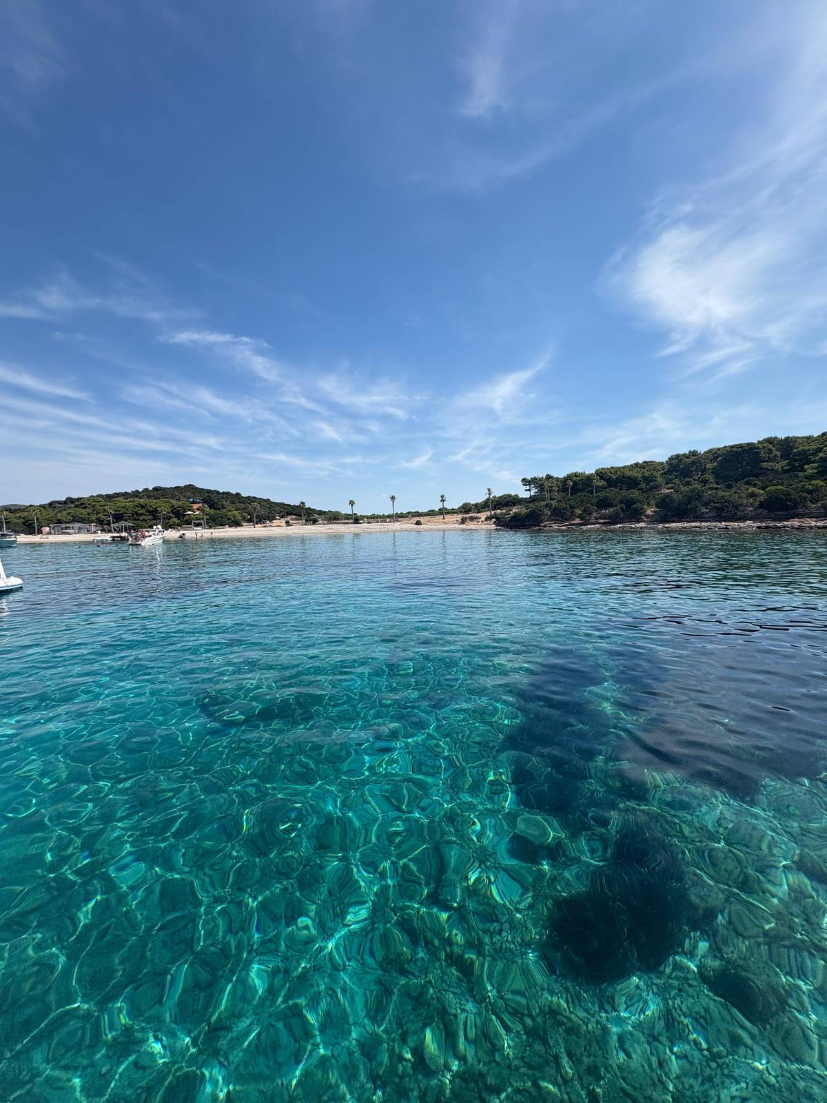
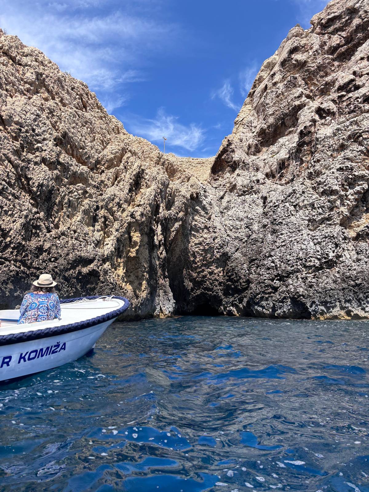
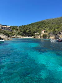
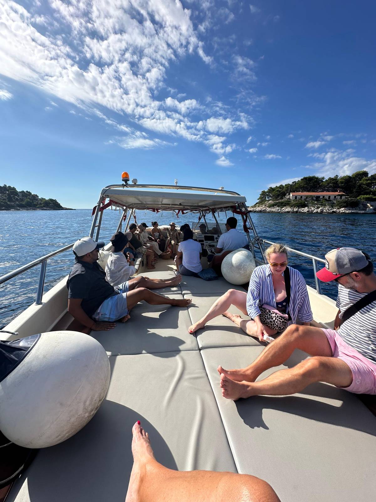
A speedboat day turns the problem around. The tour this site recommends spends 7.5 hours out of Hvar harbour, with 12 guests at most and a guide. Its listing names the Green Cave on Ravnik, Stiniva, the Blue Cave on Biševo, a swim at Budikovac or Pritišćina, and a lunch stop that can be in Vis town. You see more of the coast in one day than you could by ferry and bus, and you are back in Hvar for dinner.
The trade-off is time on land. A tour stops in a harbour for lunch and moves on, so you will not have an afternoon to wander Vis at your own pace. If the island itself is what draws you, rather than the caves, consider staying a few nights on Vis instead, with the year-round ferry from Split.6 For most people based on Hvar, though, a single well-planned boat day is the right amount of Vis.
History
Vis in a few dates
-
1542
Komiža named
First mentioned as a village, villa Comisae.7
-
1585
The Commune fort
Komiža's fort is completed.8
-
1797
Venice falls
Vis leaves the Hvar Commune.9
-
1815
British leave
They hand the island to Austria on 19 July.10
-
1866
Battle of Vis
Italy goes to war with Austria at sea.11
-
1989
Open again
The ban on foreign visitors is lifted.4
Vis tour from Hvar: the options
The listing this site recommends is a Vis and Blue Cave speedboat sold by Kabina Boats, rated 4.84 from 824 reviews and from $137. It covers both caves and two kinds of swim, which makes it a good all-round Vis tour from Hvar. Lunch is at your own expense, and the cave tickets are paid on site. Free cancellation up to 24 hours ahead lets you watch the forecast before you commit.
A Vis-only alternative starts at the Nautica Bar and goes straight to the Blue Cave, then Stiniva, Pritišćina and the Budikovac Blue Lagoon. It runs 7.5 hours for up to 12 people, rated 4.70 from 121 reviews, from $112. A newer small-group boat to the Blue Cave and Vis island lists 7.5 hours and a rating of 4.67 from 24 reviews, from $116.
If you would rather sleep on Vis, a shared speedboat from Vis itself runs 6.5 hours with pickup included and is rated 4.99 from 141 reviews. Read its itinerary carefully, though: it lists a secret stop, Pritišćina, Stiniva, the Budikovac lagoon, Smokova and Parja, and names no Blue Cave stop even though the title does. Ask the operator before booking if the cave is your priority.
Getting there
Ways to reach Vis from Hvar
Boats to Vis
Pick your Vis day
Our pick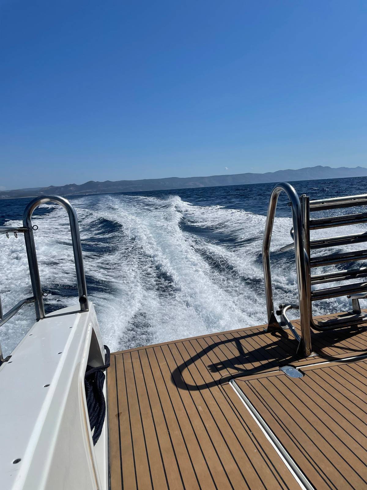 Cave first
Vis and the cave first
Nautica Bar, Hvar
- Duration
- 7.5 hrs
- Group
- Up to 12
- Rating
- 4.70
- Price
- from $112
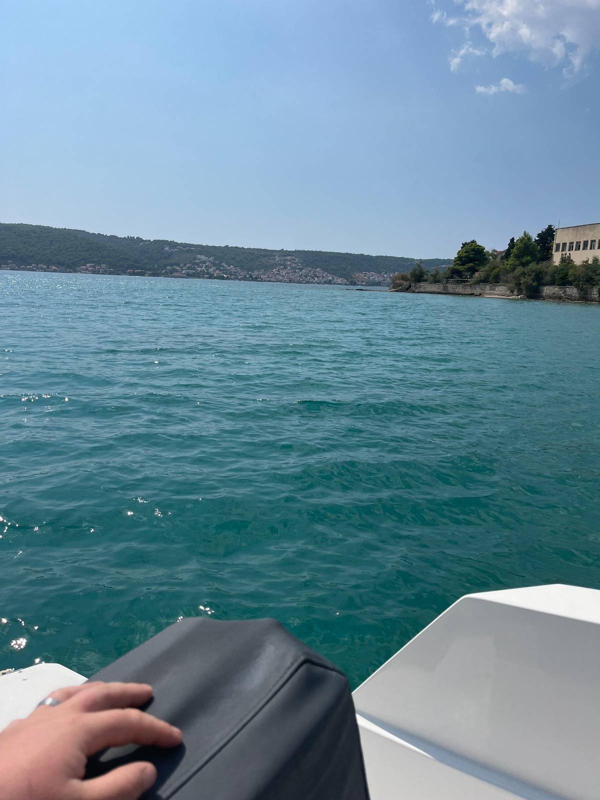 Newer boat
Decision helper
How should you see Vis?
Choose by time and taste
A speedboat tour
7.5 hours around Vis and Biševo from Hvar harbour.
Stay a night on Vis
The Split ferry runs all year.6
Ask about the lunch stop
Listings name Komiža, Vis or other harbours for lunch.
Look for Stupišće
Some Split loops stop at the former missile base.
Check the itinerary
One Vis tour names no Blue Cave stop in its itinerary.
In the socialist Yugoslavia, Vis was off-limits to all foreigners due to its strategic position (the ban was not lifted until 1989) and the entire island was turned into a large military complex.
Vis town and Komiža
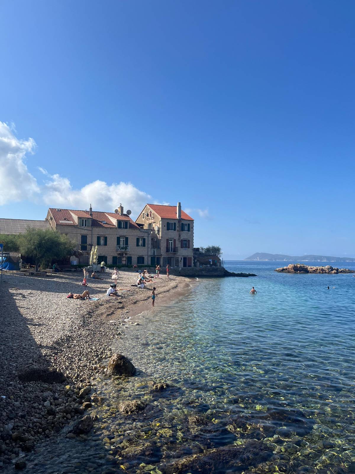
Vis has two towns on opposite sides of the island, and a tour lunch stop usually lands you in one of them. Komiža and Vis town are 13 km apart, a 15-minute bus ride.2 Vis town spreads around a deep bay on the north-east coast, with stone houses along the water and the ferry quay. Komiža, on the west coast, is the fishing town facing Biševo, and the place where the Blue Cave tickets and the boat to Biševo are based.1213
Komiža's history is written in its harbour. It was first mentioned as a village, villa Comisae, in 1542.7 Its fort, the Commune, was finished in 1585.8 The town lived from fishing, and its fishermen sailed far out to sea in a traditional boat, the gajeta falkuša; there are 4 of them in Komiža today.14 If your boat stops here, walk the waterfront, find the fort and look across to Biševo, the island of the Blue Cave.
Lunch in either town means seafood on a terrace above the water. Our tour names Vis town as one of its possible lunch stops, alongside the Pakleni Islands and the south shore of Hvar. Another Hvar listing mentions seaside restaurants in Komiža, Vis or Palmižana, depending on the route. Lunch is not included on these boats, so bring cash or a card, and ask the crew whether they can book a table for you in high summer.
Map
From Hvar harbour to the Blue Cave on Biševo
The speedboat route from Hvar town past the Pakleni islands to the caves and coves of Vis, a closer look at Komiža and Biševo, and where Split, the ferries and Dubrovnik sit on the coast.
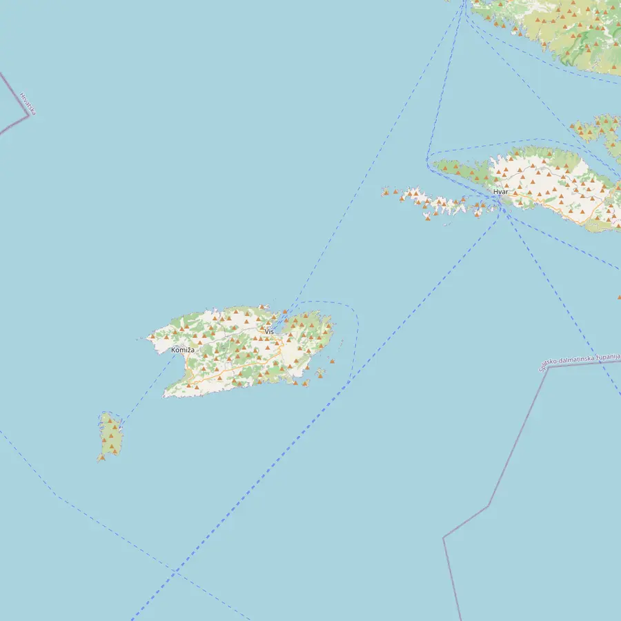 1Hvar Town2Palmižana3Green Cave4Budikovac5Stiniva6Blue Cave7Komiža8Vis town
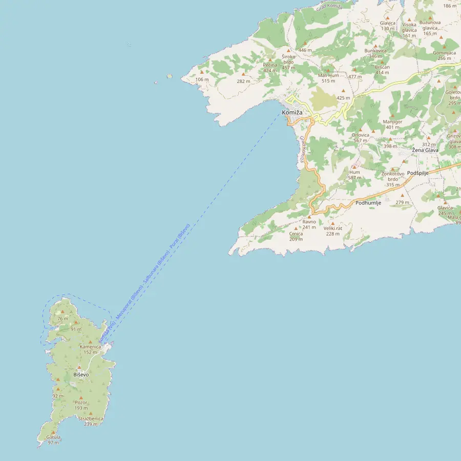 6Blue Cave7Komiža9Pritišćina
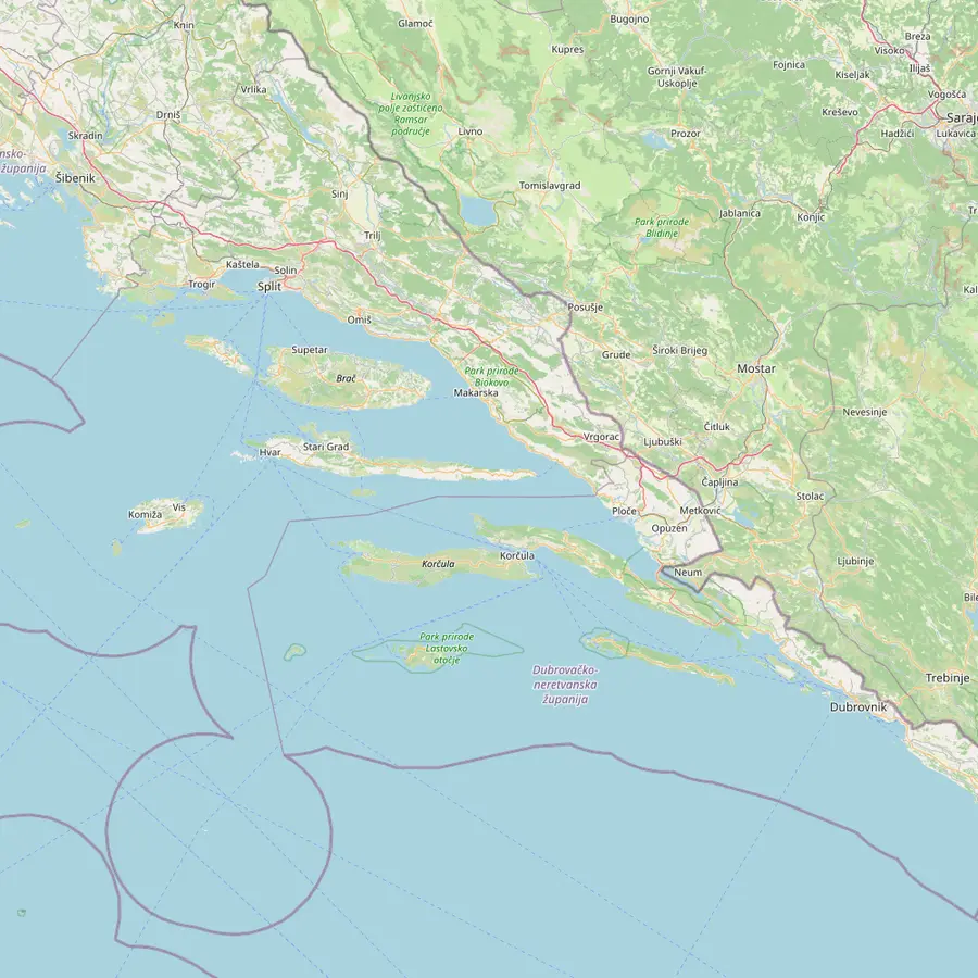 10Split11Split Airport12Stari Grad1Hvar Town8Vis town6Blue Cave13Dubrovnik14Koločep
- 1Hvar Town
The Kabina Boats office on the harbour, where the Vis and Blue Cave speedboat starts.
In Google Maps ↗ - 2Palmižana
ACI Marina Palmižana, about 2.5 nautical miles from Hvar town.15
In Google Maps ↗ - 3Green Cave
On the islet of Ravnik, a protected monument of nature since 1967.16
In Google Maps ↗ - 4Budikovac
The Blue Lagoon swim stop named on the Hvar listing.
In Google Maps ↗ - 5Stiniva
A pebble bay ringed by limestone cliffs, reached by sea or steep paths.17
In Google Maps ↗ - 6Blue Cave
In Balun cove on Biševo, 4.5 nautical miles (8.3 km) off Komiža.18
In Google Maps ↗ - 7Komiža
13 km from Vis town, a 15-minute bus ride.2
In Google Maps ↗ - 8Vis town
Linked to Split by a ferry that runs all year.6
In Google Maps ↗ - 9Pritišćina
The other swim stop the Hvar listing may use instead of Budikovac.
In Google Maps ↗ - 10Split
Catamaran line 9602 calls at Milna, Hvar town and Vis.5
In Google Maps ↗ - 11Split Airport
A private catamaran reaches Stari Grad in one hour.19
In Google Maps ↗ - 12Stari Grad
Hvar's main car ferry terminal, 20 minutes by road from Hvar town.20
In Google Maps ↗ - 13Dubrovnik
Koločep lies 25 minutes by ferry from Gruž port.21
In Google Maps ↗ - 14Koločep
Its Blue Cave is a sea grotto reached by boat.22
In Google Maps ↗
Checklist
For your day on Vis
01
Pack
- Swimwear and a towel
- Hat and biodegradable sunscreen
- Cash or card for caves and lunch
02
Plan
- Free cancellation up to 24 hours
- A full day, back for dinner
- Check the wind the evening before
Cost calculator
What a Vis day costs your group
Starting totals by group size
People
Total from$273
per participant from $137
Check availabilityfree cancellationTotals take the cheapest per-guest starting fare shown on GetYourGuide for each boat and multiply it by the number in your party, at the ECB exchange rate of the day; cave tickets are extra and checkout gives the final figure.
Video
A trip to Vis island with practical tips
No YouTube code runs on this page until you press play.
An island that was closed for decades
Much of Vis's character comes from its long isolation. In socialist Yugoslavia the island was off-limits to all foreigners, a ban not lifted until 1989, and the whole island became a large military complex.4 An area of only 90 km² held more than 30 military facilities, including an underground military hospital and a tunnel used as a shelter for warships.23 Some speedboats from Split stop at the former missile base at Stupišće on their way round the island.
The military story goes back much further. The British held Vis during the Napoleonic Wars and left on 19 July 1815, when they handed the island to Austria.10 In 1866 Italy went to war with Austria, and the naval battle that followed is known as the Battle of Vis.11 In June 1944 Tito took shelter on Vis, after the German landing at Drvar.24
Before all that, Vis was long tied to its neighbour. From the 12th century until the fall of Venice in 1797, the island was part of the Hvar Commune.9 So a day trip from Hvar to Vis has a pleasing symmetry: you are visiting the island that Hvar governed for centuries. Vis still feels quieter than its neighbours, and its coves feel wilder for it.
The Blue Cave near Vis
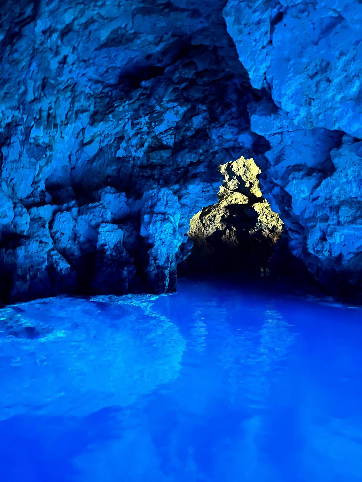
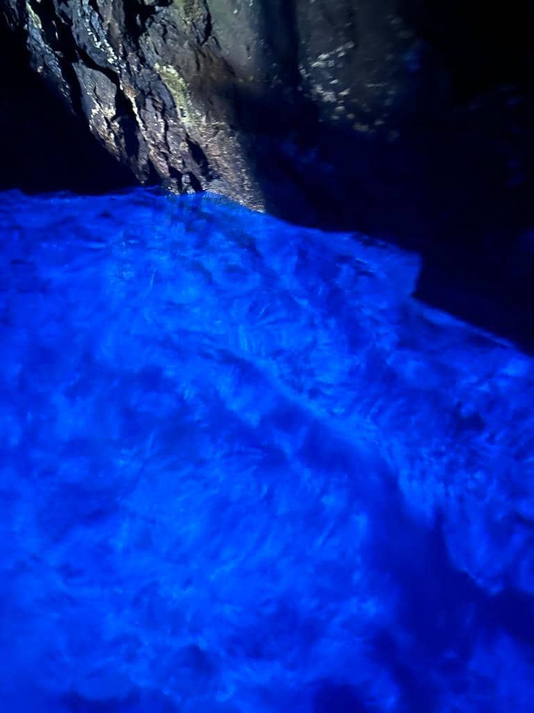
For most visitors the Blue Cave near Vis is the reason for the trip. It lies in Balun cove on the islet of Biševo, 4.5 nautical miles (8.3 km) off Komiža.18 Biševo is 5 km south-west of Vis and belongs to the Town of Komiža.25 Visits run from Mezoporat cove on Biševo in the concession holder's small boats and take about 40 minutes.26
Vis is also the heart of a wider protected area. The Vis Archipelago Geopark covers 6,661 km², of which about 101 km² is land.27 It counts 51 islands, islets and rocks, and had 3,322 inhabitants in the 2021 census.2829 The highest point is Hum on Vis, at 587 metres.3 The Blue Cave, the Green Cave on Ravnik and Stiniva are all protected monuments within it.301631
If you have time on Vis itself, Biševo can be reached by public boat too. State line 612 runs from Komiža to Mezoporat, Salbunara and Porat on Biševo.13 It sails daily in summer and three times a week in winter.32 For a day from Hvar, though, the speedboat does the whole job, and the ticket for the cave itself is the same however you arrive.
Planning your day on Vis
Book a boat with free cancellation and watch the wind. The tour this site recommends warns that severe weather can change the itinerary or cancel the trip. Vis faces the open sea, and a southerly swell can close the caves even on a sunny day. If the forecast looks rough, move your trip to another day early rather than gamble on the morning.
Pack for the sea and for town. Swimwear, a towel, a hat and biodegradable sunscreen are on the listing's own list. Add a light shirt for lunch in Komiža or Vis town, cash for the cave tickets, and a small bag that can get wet. The boat provides bottled water and beer, but no food before lunch.
Finally, set your expectations about pace. A speedboat day is lively, with fast crossings between stops and short spells at each place. That is the price of seeing Biševo, Ravnik, Stiniva and a Vis harbour in one day from Hvar. If you love what you see, come back another year and stay on Vis: the island rewards slow travel, and the ferry from Split gets you there all year round.6
Into the blue
From Hvar harbour to the glowing cave
7.5 hours, up to 12 guests, two caves and swims; cancel free up to 24 hours before.


You ask,we answer.
Can I take a ferry from Hvar to Vis for the day?
Hardly ever. The Hvar Tourist Board says boats from Hvar town to Vis run once a week.1
How do most people visit Vis from Hvar?
On a speedboat tour. The tour on this site spends 7.5 hours around Vis and Biševo.
How far is Komiža from Vis town?
13 km. The bus between them takes about 15 minutes.2
Why was Vis closed to visitors?
It was a military zone. Foreigners were barred until 1989.4
Is the Blue Cave on Vis?
On Biševo, next to it. Biševo lies 5 km south-west of Vis.25
Is lunch included on the tour?
No. Lunch is at your own expense; Vis town is one possible stop.
What is the highest point on Vis?
Hum, at 587 metres. It is the highest point of the whole archipelago.3
Sources
What this guide is based on
- 1Hvar Tourist BoardHow to reach Hvar↩
- 2Town of Komiža, Biševo Visitor Centre (official Blue Cave site)How to reach us?↩
- 3Vis Archipelago UNESCO Global GeoparkGeographical definition of space↩
- 4Vis Archipelago UNESCO Global GeoparkHistory↩
- 5Town of Komiža, Biševo Visitor Centre (official Blue Cave site)How to reach us?↩
- 6Town of Komiža, Biševo Visitor Centre (official Blue Cave site)How to reach us?↩
- 7Vis Archipelago UNESCO Global GeoparkHistory↩
- 8Vis Archipelago UNESCO Global GeoparkHistory↩
- 9Vis Archipelago UNESCO Global GeoparkHistory↩
- 10Vis Archipelago UNESCO Global GeoparkHistory↩
- 11Vis Archipelago UNESCO Global GeoparkHistory↩
- 12Town of Komiža, Biševo Visitor Centre (official Blue Cave site)Visit the Blue Cave↩
- 13Town of Komiža, Biševo Visitor Centre (official Blue Cave site)How to reach us?↩
- 14Vis Archipelago UNESCO Global GeoparkGajeta falkuša↩
- 15Hvar Tourist BoardNautical↩
- 16Vis Archipelago UNESCO Global GeoparkProtected natural monuments and significant landscapes↩
- 17Vis Archipelago UNESCO Global GeoparkProtected natural monuments and significant landscapes↩
- 18Komiža Tourist BoardBLUE CAVE (ISLAND BIŠEVO)↩
- 19Hvar Tourist BoardHow to reach Hvar↩
- 20Hvar Tourist BoardHow to reach Hvar↩
- 21Dubrovnik Tourist BoardNatural sights↩
- 22Dubrovnik Tourist BoardNatural sights↩
- 23Vis Archipelago UNESCO Global GeoparkHistory↩
- 24Vis Archipelago UNESCO Global GeoparkHistory↩
- 25Town of Komiža, Biševo Visitor Centre (official Blue Cave site)About the island↩
- 26Town of Komiža, Biševo Visitor Centre (official Blue Cave site)Visit the Blue Cave↩
- 27Vis Archipelago UNESCO Global GeoparkGeographical definition of space↩
- 28Vis Archipelago UNESCO Global GeoparkGeographical definition of space↩
- 29Vis Archipelago UNESCO Global GeoparkGeographical definition of space↩
- 30Town of Komiža, Biševo Visitor Centre (official Blue Cave site)Visit the Blue Cave↩
- 31Vis Archipelago UNESCO Global GeoparkProtected natural monuments and significant landscapes↩
- 32Town of Komiža, Biševo Visitor Centre (official Blue Cave site)How to reach us?↩
Keep reading